Sheffield weather: Hour-by-hour forecast as heavy snow falls - and more is on the way
and live on Freeview channel 276
An amber-level weather warning from the Met Office remains in place for the city and much of northern England until Wednesday (February 10) as temperatures plunge as low as -4 °C.
But the Met Office says it ‘will feel more like -6 °C’ as cold air emanating from Russia and Eastern Europe moves across the UK.
Advertisement
Hide AdAdvertisement
Hide AdToday snow showers are set to continue with ‘some brightness’ between showers.
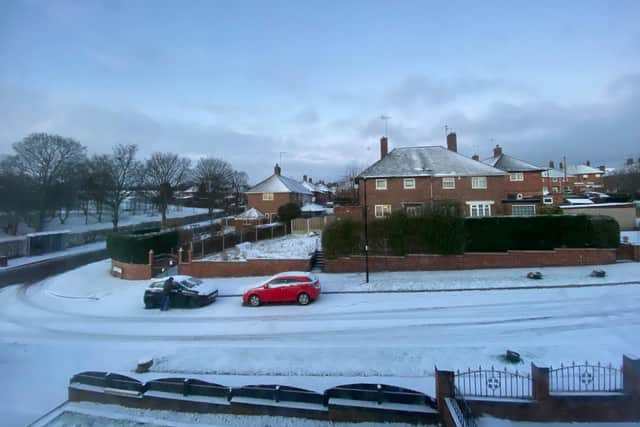

Further accumulations of snow may lead to disruption such as traffic issues, school closures and power cuts while icy stretches will persist on untreated surfaces with a ‘bitterly cold easterly wind’.
Tonight snow and possible hail showers will continue to affect most areas overnight, with some brief clear spells. It will feel ‘bitterly cold in the brisk winds’ with a hard frost, say forecasters.
Snow showers continuing through Wednesday will probably turn lighter and less frequent by evening, with some bright or sunny spells.
Advertisement
Hide AdAdvertisement
Hide AdNortheasterly winds will be a little less strong but it will remain ‘very cold’ in the region.
When is snow expected to fall in Sheffield? Here’s today’s hour-by-hour forecast:
8am: Cloudy
9am: Sunny intervals
10am: Cloudy
11am: Sunny intervals
12pm: Overcast
1pm: Overcast
2pm: Cloudy
3pm: Sunny intervals
4pm: Sunny intervals
5pm: Light snow
6pm: Light snow
7pm: Light snow
8pm: Cloudy
9pm: Cloudy
10pm: Cloudy
11pm: Partly cloudy
12pm: Light snow